

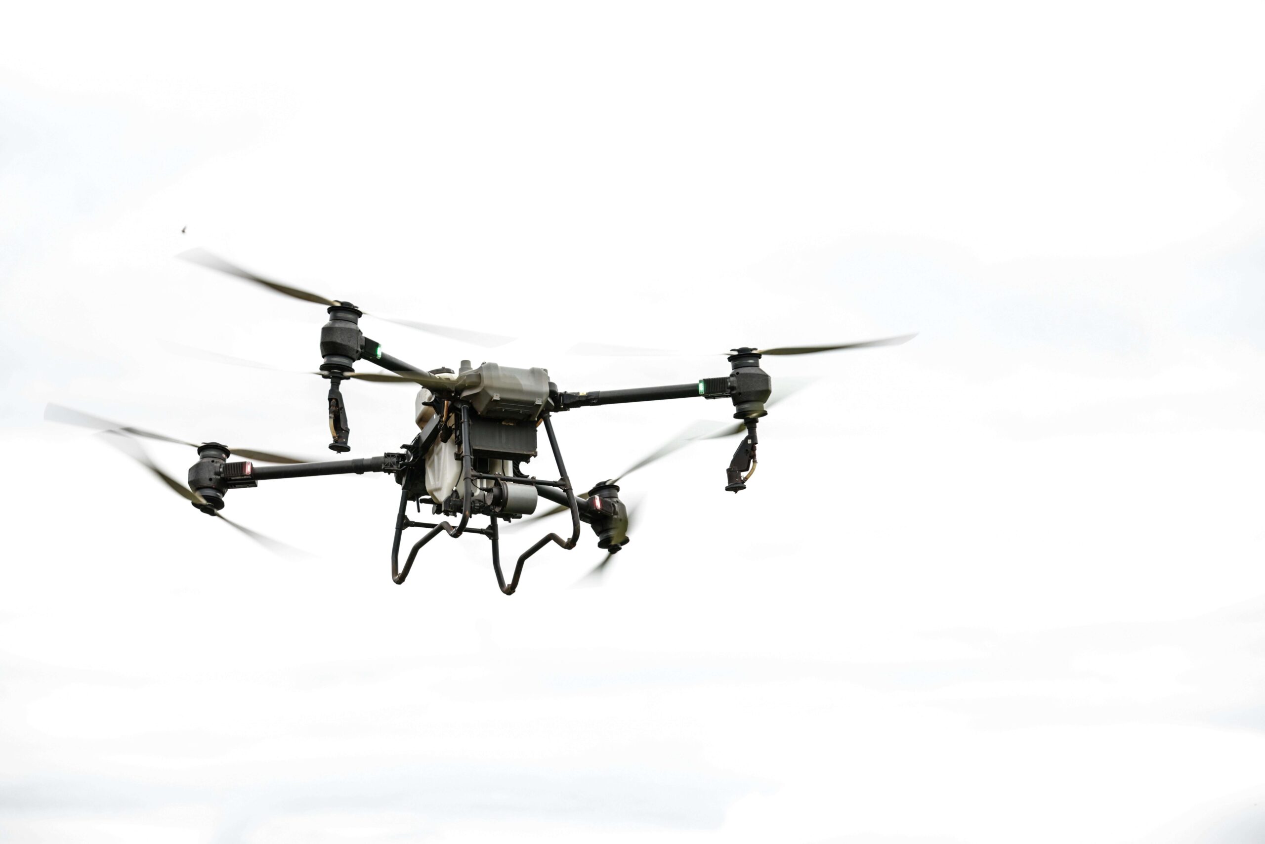
AI Mapping for Drones and Hydrones: In recent years, the combination of Artificial Intelligence (AI) with drones and hydrones has opened up a new world of possibilities. These intelligent machines are no longer just tools for capturing aerial or underwater footage—they have evolved into powerful mapping systems capable of analyzing environments with remarkable accuracy.
From agriculture and disaster management to marine exploration, AI-powered mapping using drones (aerial vehicles) and hydrones (underwater drones) is transforming how we understand and interact with our surroundings. This article explores how AI enhances mapping capabilities, the real-world applications of this technology, and what the future holds.
Understanding Drones and Hydrones
Before diving into AI mapping, it’s important to understand the difference between drones and hydrones.
- Drones (UAVs) operate in the air and are commonly used for aerial photography, surveillance, and land mapping.
- Hydrones (Underwater drones) are designed to function underwater, exploring oceans, rivers, and lakes.
Both types of machines collect vast amounts of data through sensors, cameras, and GPS systems. However, without AI, this data would require significant manual processing. That’s where AI mapping comes in.
What is AI Mapping?
AI mapping refers to the use of artificial intelligence to process, analyze, and interpret spatial data collected by drones and hydrones. Instead of just capturing images or videos, AI systems:
- Recognize patterns
- Identify objects
- Create detailed maps
- Provide actionable insights
This makes mapping faster, more accurate, and far more efficient than traditional methods.
How AI Enhances Mapping Capabilities
1. Image Recognition and Object Detection
AI algorithms can analyze images captured by drones and hydrones to identify objects such as:
- Buildings
- Crops
- Marine life
- Obstacles
For example, in agriculture, AI can detect unhealthy crops, while underwater, it can identify coral reefs or submerged structures.
2. Real-Time Data Processing
One of the biggest advantages of AI is real-time processing. Instead of waiting hours or days for data analysis, AI-powered systems can:
- Process data instantly
- Provide immediate feedback
- Enable quick decision-making
This is especially critical in emergency situations like natural disasters.
3. 3D Mapping and Modeling
AI allows drones and hydrones to create highly detailed 3D maps of environments. These maps are useful for:
- Urban planning
- Construction projects
- Geological surveys
- Ocean floor mapping
The level of detail achieved through AI-driven mapping is far superior to traditional techniques.
4. Autonomous Navigation
AI enables drones and hydrones to navigate independently without constant human control. They can:
- Avoid obstacles
- Adjust routes
- Optimize coverage areas
This not only improves efficiency but also reduces operational risks.
Applications of AI Mapping
1. Agriculture
Farmers are increasingly using AI-powered drones for precision agriculture. These drones can:
- Monitor crop health
- Detect pests and diseases
- Optimize irrigation
This leads to higher yields and reduced resource wastage.
2. Disaster Management
During natural disasters such as floods, earthquakes, or wildfires, AI mapping plays a crucial role. Drones can quickly survey affected areas and provide real-time data to rescue teams.
Hydrones can be used in flooded regions to locate survivors or assess underwater damage.
3. Environmental Monitoring
AI mapping helps in tracking environmental changes such as:
- Deforestation
- Glacier melting
- Ocean pollution
Hydrones, in particular, are valuable for studying marine ecosystems and monitoring underwater habitats.
4. Infrastructure and Construction
In construction, AI-powered drones are used for:
- Site surveys
- Progress tracking
- Structural inspections
They provide accurate data that helps engineers make informed decisions.
5. Marine Exploration
Hydrones are revolutionizing underwater exploration. With AI, they can:
- Map the ocean floor
- Discover shipwrecks
- Study marine biodiversity
This opens up new opportunities for scientific research and resource management.
Benefits of AI Mapping
1. Increased Accuracy
AI reduces human error and ensures precise data analysis, resulting in highly accurate maps.
2. Cost Efficiency
Automating mapping processes reduces the need for manual labor and expensive equipment.
3. Time Saving
AI can process large datasets بسرعة, significantly reducing the time required for mapping projects.
4. Safety
Using drones and hydrones minimizes the need for humans to enter dangerous environments such as disaster zones or deep-sea areas.
Challenges and Limitations
Despite its advantages, AI mapping for drones and hydrones faces several challenges.
1. Data Quality Issues
Poor-quality data can affect AI analysis, leading to inaccurate results.
2. High Initial Costs
Setting up AI-powered mapping systems can be expensive, especially for small organizations.
3. Technical Complexity
Operating and maintaining these systems requires specialized knowledge and skills.
4. Regulatory Concerns
Drone usage is subject to regulations in many countries, which can limit their deployment.
Ethical Considerations
As with any advanced technology, AI mapping raises ethical concerns:
- Privacy issues: Aerial drones can capture sensitive information.
- Environmental impact: Overuse of drones may disturb wildlife.
- Data security: Ensuring that collected data is protected from misuse is essential.
Addressing these concerns is crucial for responsible use of AI mapping technologies.
The Future of AI Mapping
The future of AI mapping for drones and hydrones looks incredibly promising. Advancements in AI, machine learning, and sensor technology will further enhance capabilities.
Potential future developments include:
- Fully autonomous mapping systems
- Integration with satellite data
- Improved underwater communication systems
- More affordable solutions for widespread adoption
As technology evolves, AI mapping will become an integral part of industries ranging from agriculture to environmental conservation.
Conclusion
AI mapping for drones and hydrones represents a powerful fusion of technology and intelligence. By transforming raw data into meaningful insights, AI enables these machines to go beyond simple observation and become essential tools for analysis and decision-making.
While challenges remain, the benefits of accuracy, efficiency, and safety make AI mapping a game-changer in multiple fields. As we continue to explore both land and sea, AI-powered drones and hydrones will play a key role in shaping a smarter, more informed world.